
|
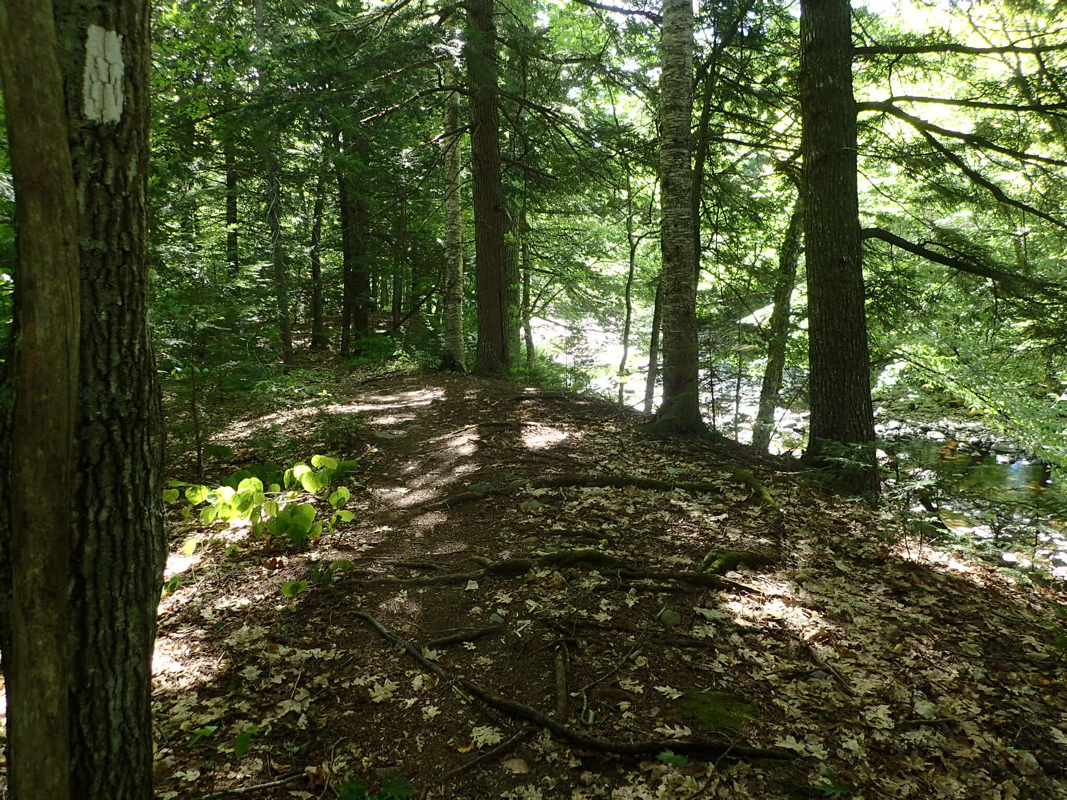
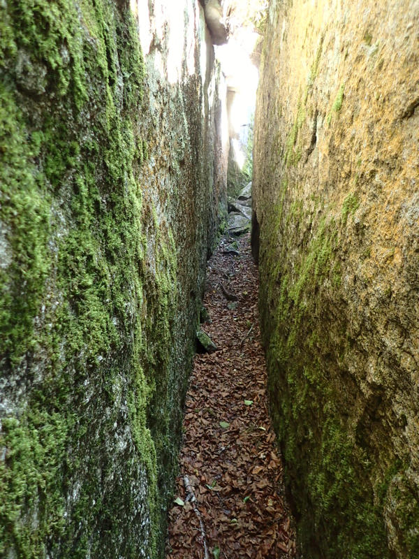
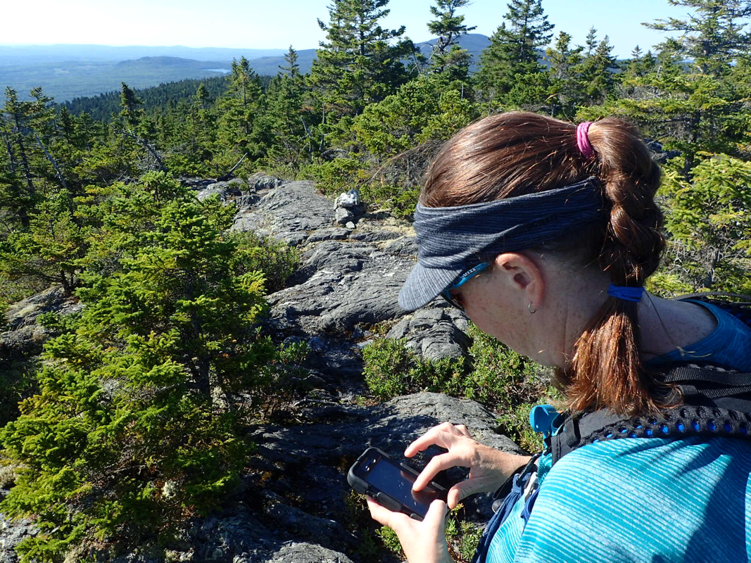
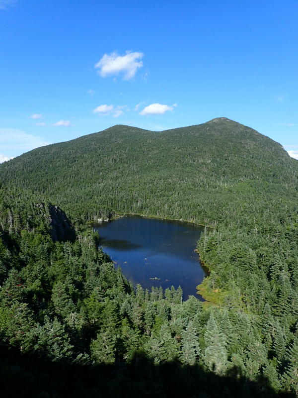
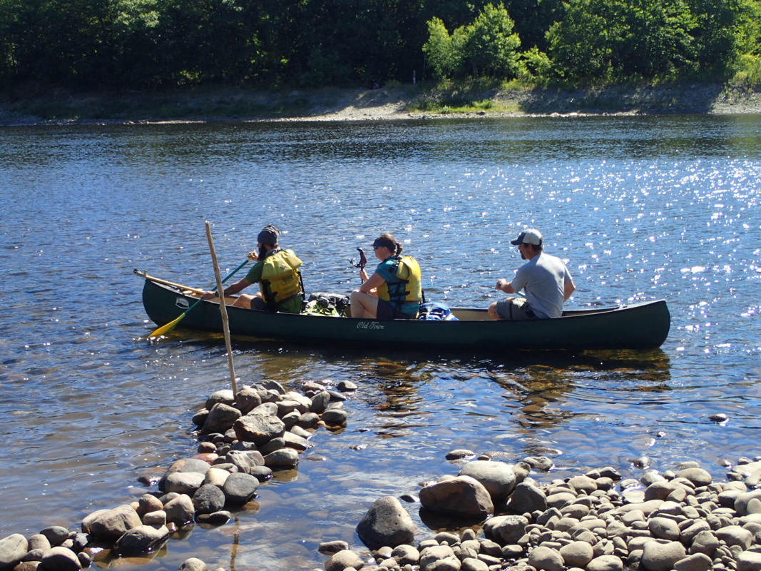
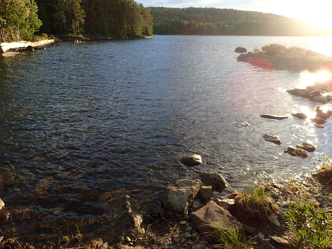
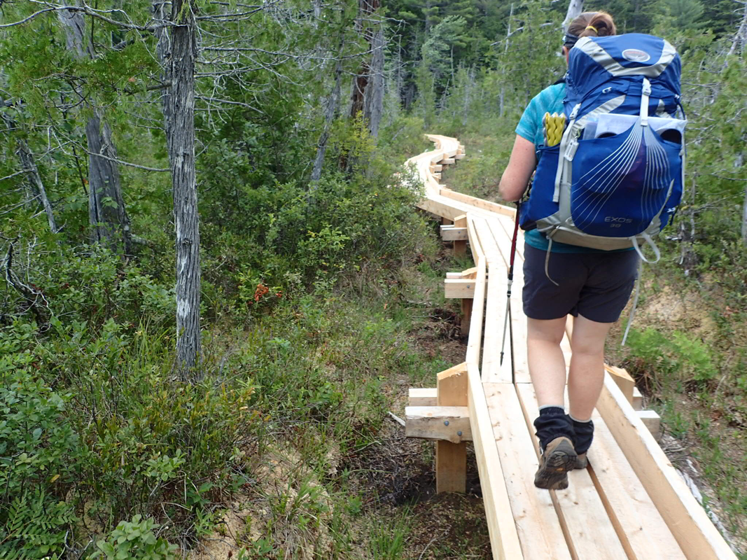
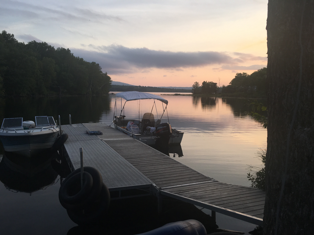
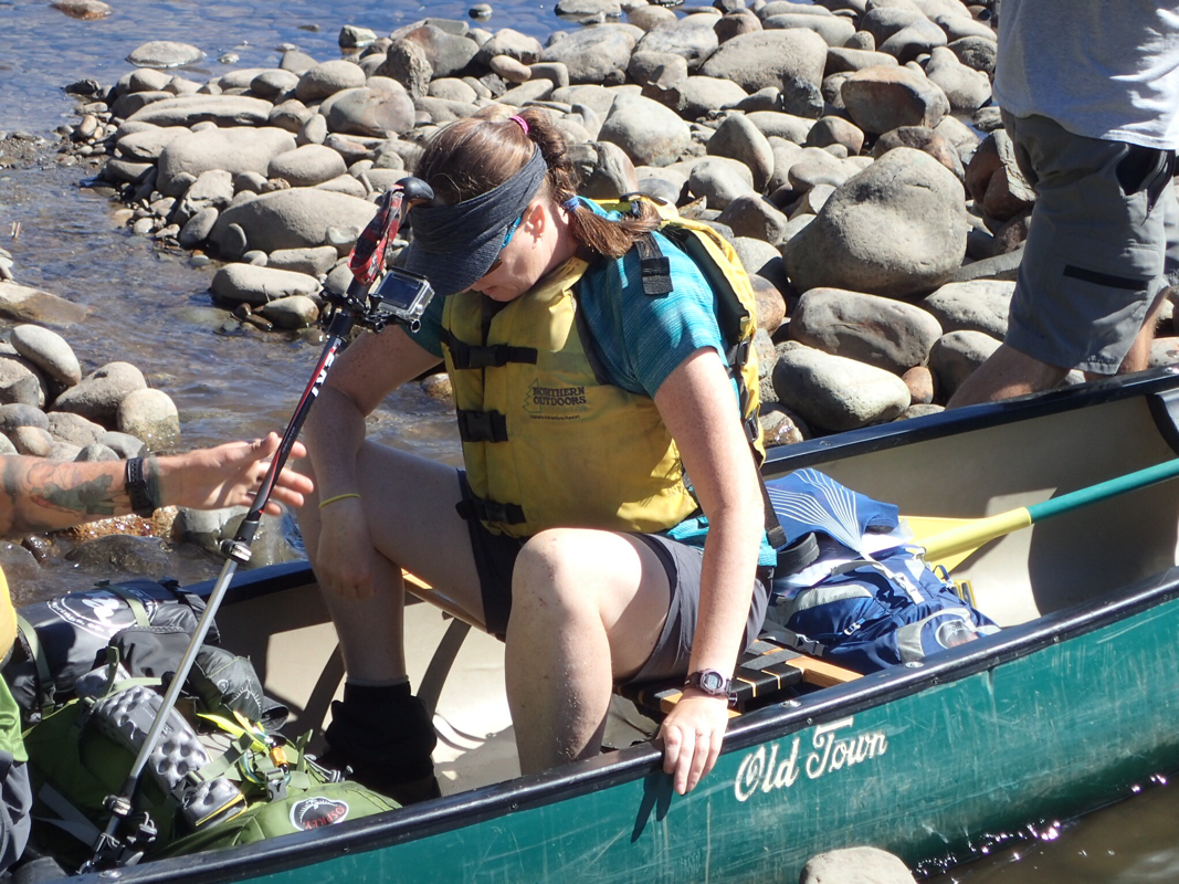
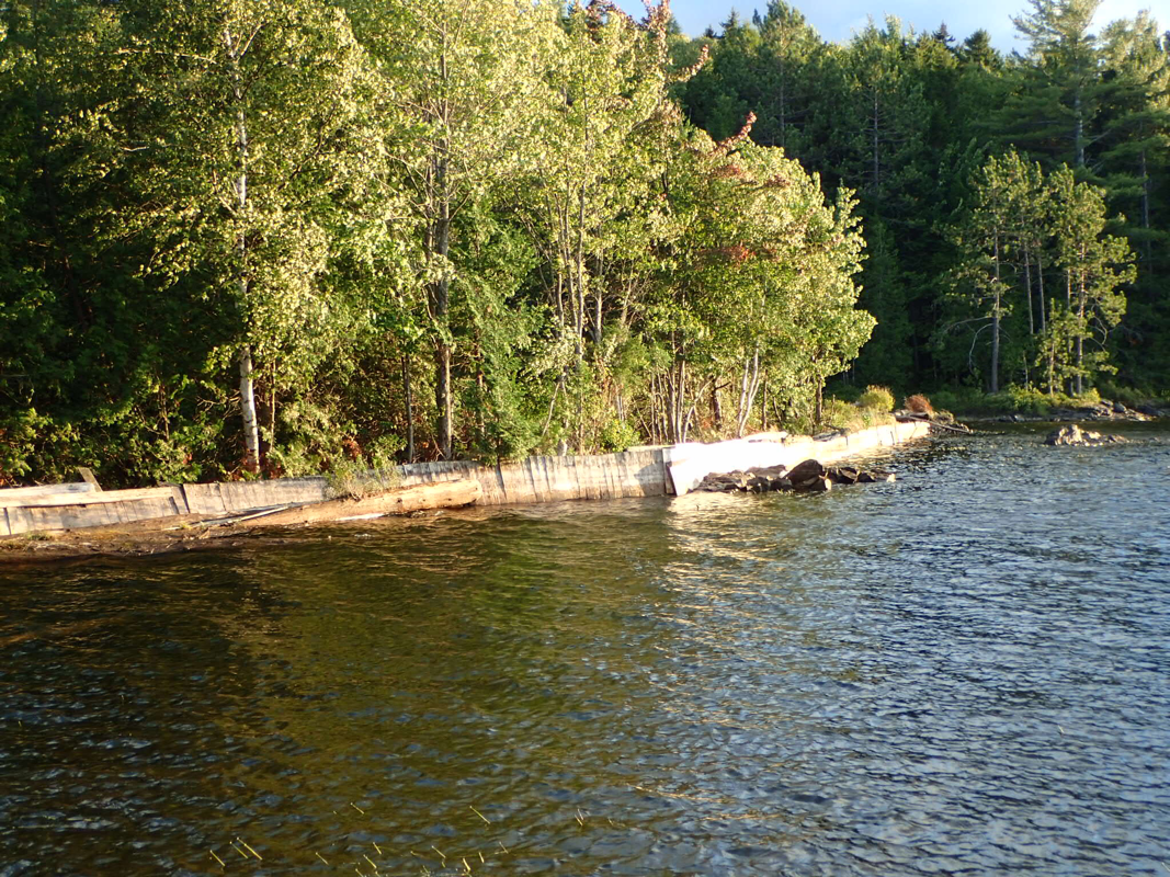
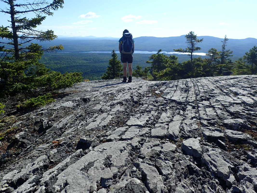
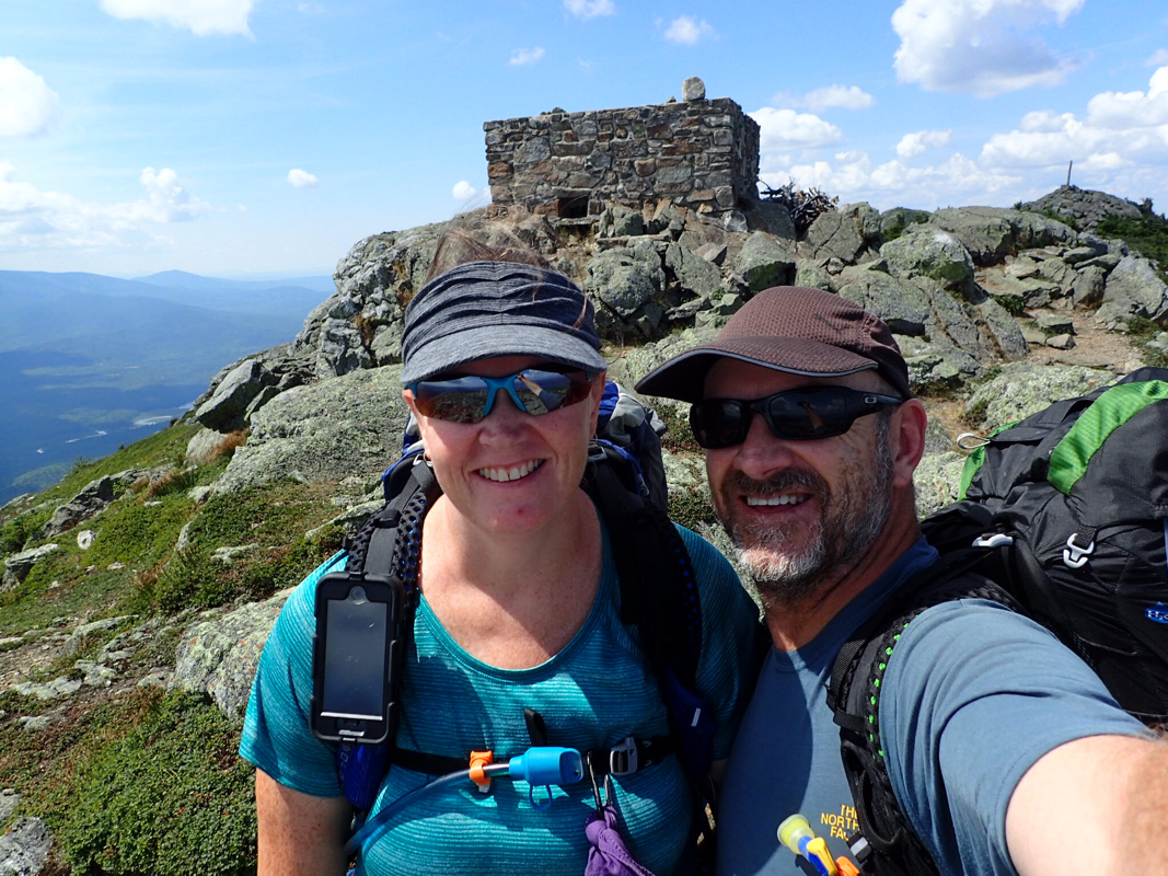
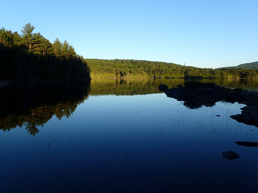
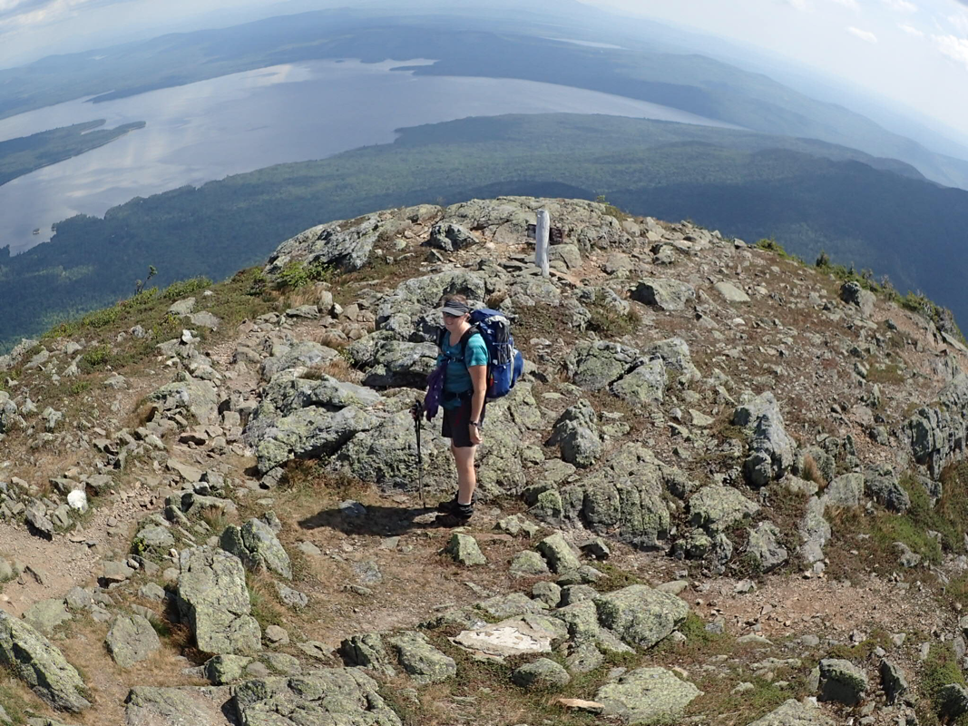
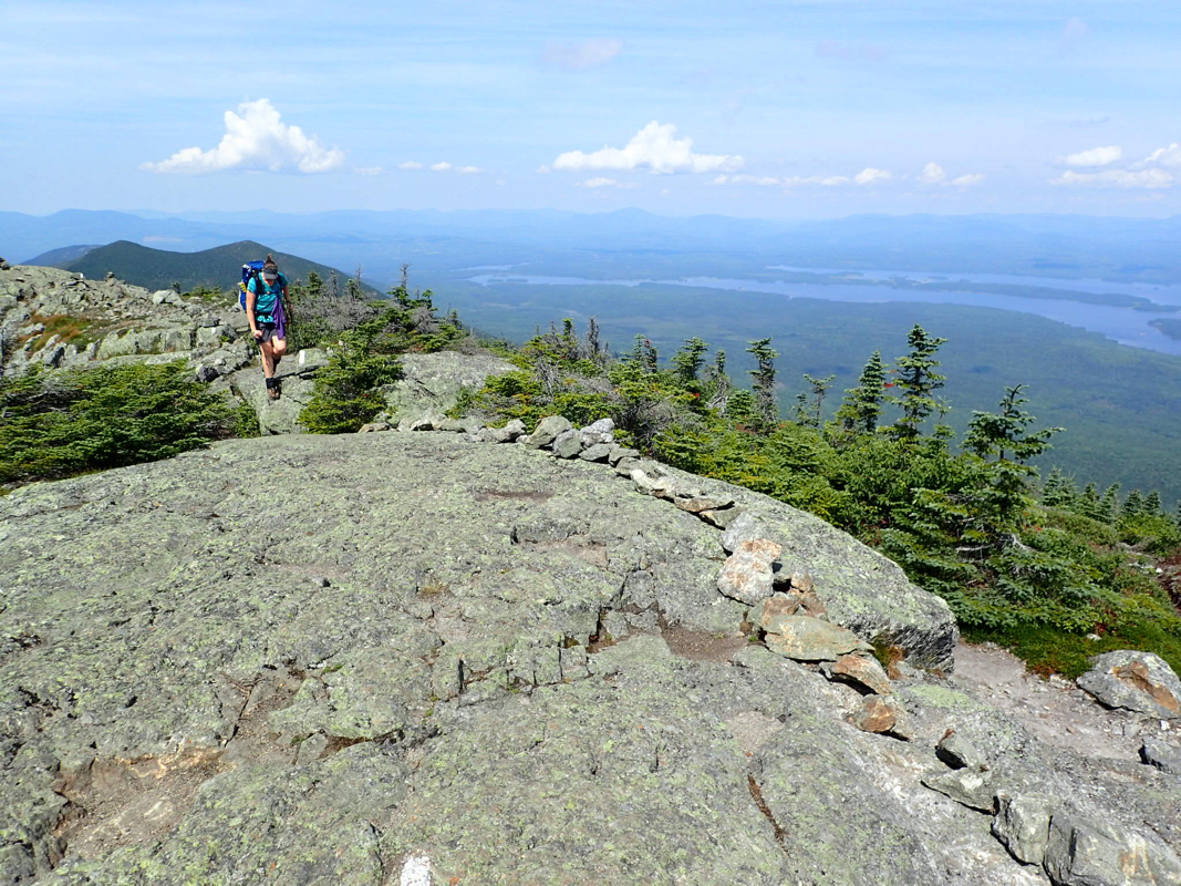
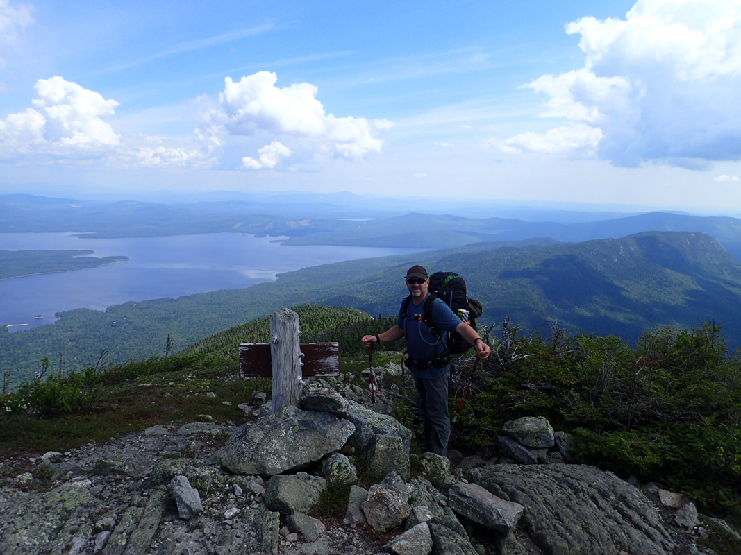
We climbed out of the notch with heavy packs after a quick town stop in Stratton. We had 5 days of food and snacks and with our increased calorie intake comes increased pack weight. I spent that evening looking at everything in my food bag to decide what to eat first. It had to be the heavier food of course. The only big hills between us and the finish are now the Bigelows. A range of several 4000 ft high peaks. Stratton had been a great stop for resupplying and we were able to get everything we wanted right there including our favorite stove fuel, but the weight!! How will we manage the 8 day section we have next?? One thing we wouldn't have to deal with is the mud! Right now Maine and a lot of New England is suffering from a drought. This is never a good thing but it means we don't have to wade through waist deep bogs everyday which can't be too bad? For us at this stage of the trail getting water is not too hard. Maine is a state of lakes and ponds so we have water everywhere. We do have a somewhat blocked water filter though. We filter all the water we drink. Out here you fall into one of two camps. To filter or not to filter. We are the filter lot. We have a very simple.filter. Fill a bag with water and it will drain via a filter. It's been great so far but with the ponds we need to let the water settle first. It looks clean but... So we now have a slower filter but still nice clean water! Maine is much like the rest of the Appalachian Trail and it's not too easy to remember highlights of the last few days but something Maine has a lot of is lakes. They call them ponds mostly... not sure why so I looked it up "If the water is deep enough that light does not penetrate to the bottom, and photosynthesis is limited to the top layer, the body of water is considered a lake. A pond is a body of water shallow enough to support rooted plants. Many times plants grow all the way across a shallow pond" OK I think they should be calling some of them lakes...one good thing is they are warm. We have been swimming every day! Our midday swims will usually be fully clothed, you don't know who is around the next corner and we will be completely dry in an hour. If we find ourselves in an out of the way place, it's a full on bath (minus the soap..) and we are then 'hiker clean' ready for the next day or afternoon. Of course we can't stop at every one and we have noticed that it's getting cooler too. Summer won't last for ever So, we are nearing the end of this great trip along the Appalachian Trail. It's been interesting to have a few people ask us why we have come all the way from New Zealand to just do this trip. Well I can remember a time when Christine was still to do her first overnight hiking trip! I can remember getting woken up one Saturday morning by Christine bashing on my door. We were flatting together in a big house with 8 others and I had promised to go walking with her in the morning...but only if I couldn't go fishing, and it was looking pretty good for the fishing really. Anyway it wouldn't be a story if I went fishing would it! That Saturday we went on a short walk, not more than an hour but I remember it well. Towards the end of the walk, we were climbing a slight hill and as we got to the top I could see a giant tree in front of me. A seriously large tree! It was a giant Kauri tree that had been saved from felling more than 100 years ago. OK she had my attention now! We went on several more walks, then overnight hiking trips then the big one. Lake Waikaremoana. 4 day 3 nights. This was going to sort out if she could handle the tough stuff or not. I am pretty sure you can see where we are going with this! The trips just got longer and harder until we are doing the hiking trip to end all hiking trips, the Appalachian trail! Haha I'm sure this will not be the last hiking trip... Tomorrow we will head out on our last 100 miles of this track. They call this bit oddly 'the 100 mile wilderness'. Unlike when we headed out from Stratton, we will have much lighter food bags. The hostel we are staying at will drop us half our food at mile 60 so it's no Foodtown, but it sort of tames the wilderness a bit eh. On the map I am not seeing too much above us either. No towns and only parks. The next 100 miles will send us to the base of the highest peak in Maine, Mt Katahdin in the Baxter State Park. Sadly we will have to do all this without wifi or mobile data because this trail ends in the middle of nowhere.
tractor
12/8/2016 12:42:09 pm
Stay well kids! Come see us if you ever find yourselves in south central Tennessee. Comments are closed.
|
it's Our Epic Trip...David & Christine are from New Zealand and are embarking on a trip around the world the slow way, on foot and by personal vehicle. This could get interesting! Archives
June 2018
Categories
All
|


 RSS Feed
Proudly powered by Weebly